Church House (Bullinghope)
Introduction
The photograph on this page of Church House (Bullinghope) by Fabian Musto as part of the Geograph project.
The Geograph project started in 2005 with the aim of publishing, organising and preserving representative images for every square kilometre of Great Britain, Ireland and the Isle of Man.

There are currently over 7.5m images from over 14,400 individuals and you can help contribute to the project by visiting https://www.geograph.org.uk
Church House (Bullinghope)
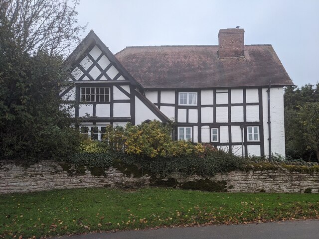
Image: © Fabian Musto Taken: 25 Oct 2023
One of two grade II listed timber-framed buildings in Bullinghope, and this house is situated east from the new church of St. Peter (1880). This was built as a farmhouse in the seventeenth century, which had alterations in the C19 and C20; grade II listed in May 1987.
Images are licensed for reuse under creativecommons.org/licenses/by-sa/2.0
Image Location
Latitude
52.02978
Longitude
-2.714609