The old church at Bullinghope
Introduction
The photograph on this page of The old church at Bullinghope by Fabian Musto as part of the Geograph project.
The Geograph project started in 2005 with the aim of publishing, organising and preserving representative images for every square kilometre of Great Britain, Ireland and the Isle of Man.

There are currently over 7.5m images from over 14,400 individuals and you can help contribute to the project by visiting https://www.geograph.org.uk
The old church at Bullinghope
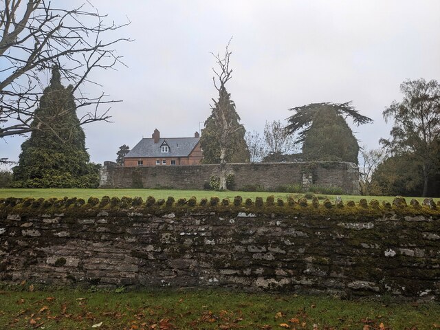
Image: © Fabian Musto Taken: 25 Oct 2023
The ruins of the medieval church to St. Peter from a country lane to the south, with the Old Vicarage in the background (the ruins are situated on their private gardens). The building dates from around the twelfth century, and this fell into disuse when the new church was built to the west in 1880.
Images are licensed for reuse under creativecommons.org/licenses/by-sa/2.0
Image Location
Latitude
52.0305
Longitude
-2.714474