Benchmark on Shotton Lane railway bridge, Higher Shotton
Introduction
The photograph on this page of Benchmark on Shotton Lane railway bridge, Higher Shotton by John S Turner as part of the Geograph project.
The Geograph project started in 2005 with the aim of publishing, organising and preserving representative images for every square kilometre of Great Britain, Ireland and the Isle of Man.

There are currently over 7.5m images from over 14,400 individuals and you can help contribute to the project by visiting https://www.geograph.org.uk
Benchmark on Shotton Lane railway bridge, Higher Shotton
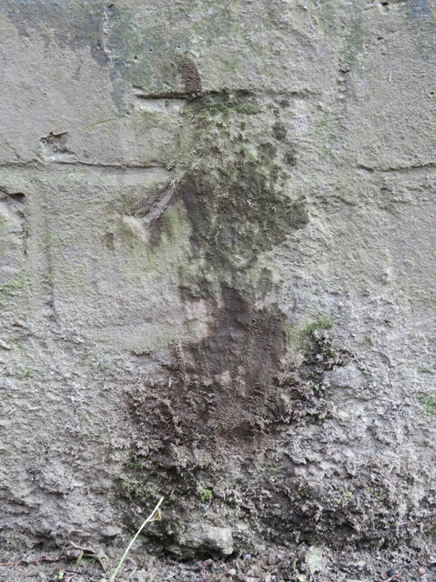
Image: © John S Turner Taken: 25 Jun 2016
Ordnance Survey benchmark on Shotton Lane railway bridge, which seems to be covered in hardened lime that has leached out of the old mortar. The mark was levelled at 25.366m above Newlyn Datum, verified in 1959. For a wider view see Image Benchmark Database: https://www.bench-marks.org.uk/bm205214
Images are licensed for reuse under creativecommons.org/licenses/by-sa/2.0
Image Location
Latitude
53.20384
Longitude
-3.046359