Dam at Kellyfield
Introduction
The photograph on this page of Dam at Kellyfield by Anne Burgess as part of the Geograph project.
The Geograph project started in 2005 with the aim of publishing, organising and preserving representative images for every square kilometre of Great Britain, Ireland and the Isle of Man.

There are currently over 7.5m images from over 14,400 individuals and you can help contribute to the project by visiting https://www.geograph.org.uk
Dam at Kellyfield
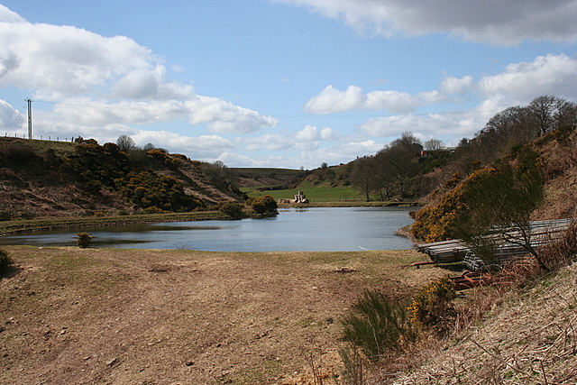
Image: © Anne Burgess Taken: 14 Apr 2008
Judging by the stack of pipes by the road, this dam on the Rottenraw Burn is intended for irrigation.
Images are licensed for reuse under creativecommons.org/licenses/by-sa/2.0
Image Location


Leaflet Map data © OpenStreetMap
Latitude
56.556014
Longitude
-2.670542