The Cumbria Way, Denton Holme
Introduction
The photograph on this page of The Cumbria Way, Denton Holme by Adrian Taylor as part of the Geograph project.
The Geograph project started in 2005 with the aim of publishing, organising and preserving representative images for every square kilometre of Great Britain, Ireland and the Isle of Man.

There are currently over 7.5m images from over 14,400 individuals and you can help contribute to the project by visiting https://www.geograph.org.uk
The Cumbria Way, Denton Holme
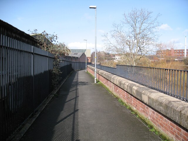
Image: © Adrian Taylor Taken: 11 Mar 2019
The Cumbria Way long distance path follows the Caldew Cycleway along the back of the River Caldew flood defence wall at Denton Holme (next photograph Image). This section of the Caldew Cycleway is also known as the Caldew Riverside Trail. Denton Holme can also be spelled as Dentonholme; the various railway companies that maintained facilities in this part of Carlisle almost exclusively used Dentonholme, Denton Holme is more common elsewhere.
Images are licensed for reuse under creativecommons.org/licenses/by-sa/2.0
Image Location
Latitude
54.888101
Longitude
-2.937498