End of footpath to cliff top
Introduction
The photograph on this page of End of footpath to cliff top by M J Roscoe as part of the Geograph project.
The Geograph project started in 2005 with the aim of publishing, organising and preserving representative images for every square kilometre of Great Britain, Ireland and the Isle of Man.

There are currently over 7.5m images from over 14,400 individuals and you can help contribute to the project by visiting https://www.geograph.org.uk
End of footpath to cliff top
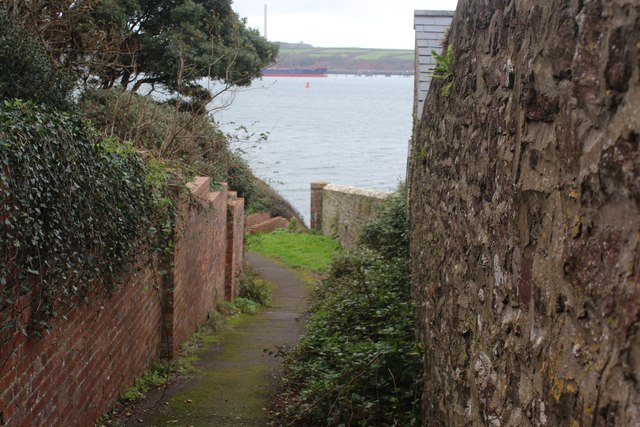
Image: © M J Roscoe Taken: 23 Oct 2023
Public footpath from St Anne's Drive to waterside path - down steps Image to the right or along the cliff top to left.
Images are licensed for reuse under creativecommons.org/licenses/by-sa/2.0
Image Location
Latitude
51.70838
Longitude
-5.047851