Daventry
Introduction
The photograph on this page of Daventry by Ian Rob as part of the Geograph project.
The Geograph project started in 2005 with the aim of publishing, organising and preserving representative images for every square kilometre of Great Britain, Ireland and the Isle of Man.

There are currently over 7.5m images from over 14,400 individuals and you can help contribute to the project by visiting https://www.geograph.org.uk
Daventry
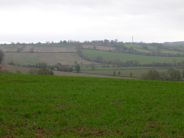
Image: © Ian Rob Taken: 10 Nov 2005
Mainly fields in this square. Taken from the path which crosses the north east corner of the square near road to Berryfields Farm.
Images are licensed for reuse under creativecommons.org/licenses/by-sa/2.0
Image Location


Leaflet Map data © OpenStreetMap
Latitude
52.270523
Longitude
-1.196877