Path on sea wall at The Breakwater, Hakin
Introduction
The photograph on this page of Path on sea wall at The Breakwater, Hakin by M J Roscoe as part of the Geograph project.
The Geograph project started in 2005 with the aim of publishing, organising and preserving representative images for every square kilometre of Great Britain, Ireland and the Isle of Man.

There are currently over 7.5m images from over 14,400 individuals and you can help contribute to the project by visiting https://www.geograph.org.uk
Path on sea wall at The Breakwater, Hakin
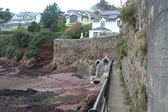
Image: © M J Roscoe Taken: 23 Oct 2023
Public footpath on ledge on sea/retaining wall - the continuation of the path in Image At the slight angle in the wall there are steps down to Conduit Beach. Walkers can then cross the outflow from the culverts to a path, at the end of the wall, up to Conduit Lane.
Images are licensed for reuse under creativecommons.org/licenses/by-sa/2.0
Image Location
Latitude
51.708451
Longitude
-5.04858