The Cumbria Way, Dentonholme
Introduction
The photograph on this page of The Cumbria Way, Dentonholme by Adrian Taylor as part of the Geograph project.
The Geograph project started in 2005 with the aim of publishing, organising and preserving representative images for every square kilometre of Great Britain, Ireland and the Isle of Man.

There are currently over 7.5m images from over 14,400 individuals and you can help contribute to the project by visiting https://www.geograph.org.uk
The Cumbria Way, Dentonholme
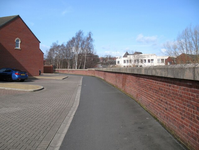
Image: © Adrian Taylor Taken: 11 Mar 2019
This unimaginatively designed bleak urban space is the route of the Caldew Cycleway and The Cumbria Way, alongside the high flood defence barrier which hides the River Caldew from view (next photograph Image).
Images are licensed for reuse under creativecommons.org/licenses/by-sa/2.0
Image Location


Leaflet Map data © OpenStreetMap
Latitude
54.889039
Longitude
-2.937052