Old Milestone by UC road (Ermin Way), Ermin Street; 70m East of junction with Vicarage Lane in front No 89
Introduction
The photograph on this page of Old Milestone by UC road (Ermin Way), Ermin Street; 70m East of junction with Vicarage Lane in front No 89 by Roadside Relics as part of the Geograph project.
The Geograph project started in 2005 with the aim of publishing, organising and preserving representative images for every square kilometre of Great Britain, Ireland and the Isle of Man.

There are currently over 7.5m images from over 14,400 individuals and you can help contribute to the project by visiting https://www.geograph.org.uk
Old Milestone by UC road (Ermin Way), Ermin Street; 70m East of junction with Vicarage Lane in front No 89
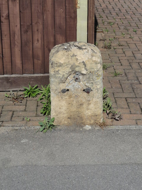
Image: © Roadside Relics Taken: 13 Sep 2023
The Milestone is located on the verge on the North of the road. Parish of Brockworth (Tewkesbury District). Stone post (plate lost), Northgate plate design, erected by the Northgate turnpike trust in the 18th Century, Chips on edges, pitting. An earlier photograph can be found here: https://www.geograph.org.uk/photo/6050209 Inscription reads:- (Gloucester 4) Milestone Society National ID: GL_GLBL04
Images are licensed for reuse under creativecommons.org/licenses/by-sa/2.0
Image Location
Latitude
51.845463
Longitude
-2.157889