
The northern edge of Arley Wood
Introduction
The photograph on this page of The northern edge of Arley Wood by A J Paxton as part of the Geograph project.
The Geograph project started in 2005 with the aim of publishing, organising and preserving representative images for every square kilometre of Great Britain, Ireland and the Isle of Man.

There are currently over 7.5m images from over 14,400 individuals and you can help contribute to the project by visiting https://www.geograph.org.uk
The northern edge of Arley Wood
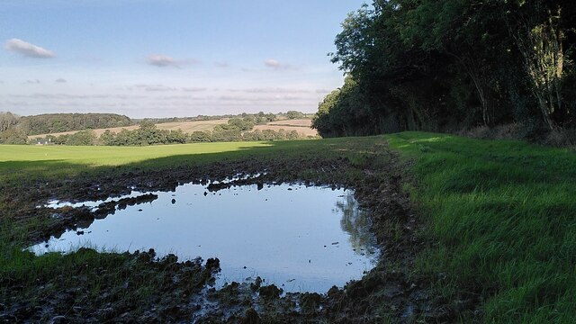
Image: © A J Paxton Taken: 17 Oct 2023
Though Arley Wood was turned into a conifer plantation in the 1960s, its edges remain those of an ancient wood: sinuous, curving or zigzag, as described by Oliver Rackham, with broadleaved trees and a woodbank and ditch. The slight rise of the land outside the wood to the ditch along the edge can be seen very clearly here. The field beyond the wood is very muddy and has been reseeded by the farmer; a large puddle has formed after heavy rain. The land falls away to the Bourne Brook, with more fields and woodland beyond, as the land rises again towards Ansley. See also Image] and Image
Images are licensed for reuse under creativecommons.org/licenses/by-sa/2.0
Image Location

Latitude
52.519823
Longitude
-1.589548