Doxey Road, Castletown, Stafford
Introduction
The photograph on this page of Doxey Road, Castletown, Stafford by Rod Grealish as part of the Geograph project.
The Geograph project started in 2005 with the aim of publishing, organising and preserving representative images for every square kilometre of Great Britain, Ireland and the Isle of Man.

There are currently over 7.5m images from over 14,400 individuals and you can help contribute to the project by visiting https://www.geograph.org.uk
Doxey Road, Castletown, Stafford
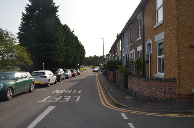
Image: © Rod Grealish Taken: 17 Oct 2023
This section of Doxey road has been replaced by a new road on the left behind the trees. The residents now enjoy on-street residential parking and less road noise and traffic. The new road is part of the Western Access route around Stafford by-passing the town centre and opening up new land for development.
Images are licensed for reuse under creativecommons.org/licenses/by-sa/2.0
Image Location
Latitude
52.807993
Longitude
-2.125756