Sheep pasture at Netherbarns
Introduction
The photograph on this page of Sheep pasture at Netherbarns by M J Richardson as part of the Geograph project.
The Geograph project started in 2005 with the aim of publishing, organising and preserving representative images for every square kilometre of Great Britain, Ireland and the Isle of Man.

There are currently over 7.5m images from over 14,400 individuals and you can help contribute to the project by visiting https://www.geograph.org.uk
Sheep pasture at Netherbarns
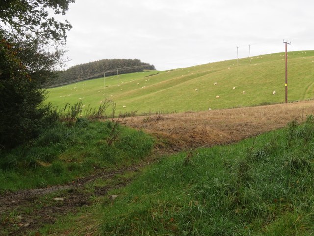
Image: © M J Richardson Taken: 16 Oct 2023
West of the old Abbotsford Road, now bypasssed by a realigned A7.
Images are licensed for reuse under creativecommons.org/licenses/by-sa/2.0
Image Location
Latitude
55.598802
Longitude
-2.800754