St Mary's Bridge, Doncaster
Introduction
The photograph on this page of St Mary's Bridge, Doncaster by Stephen Craven as part of the Geograph project.
The Geograph project started in 2005 with the aim of publishing, organising and preserving representative images for every square kilometre of Great Britain, Ireland and the Isle of Man.

There are currently over 7.5m images from over 14,400 individuals and you can help contribute to the project by visiting https://www.geograph.org.uk
St Mary's Bridge, Doncaster
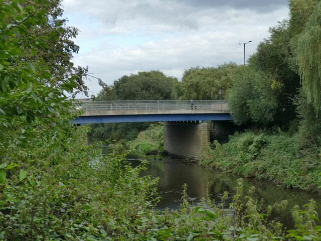
Image: © Stephen Craven Taken: 23 Sep 2023
The modern road bridge over the River Don was opened by HRH The Princess Royal [Princess Mary, Countess of Harewood] on 27th November 1959. It replaced an earlier one of 1782, also called Mill Bridge; before that there was a medieval bridge with a chantry chapel dedicated to St Mary, hence the name. Sources: https://greatnorthroad.co.uk/river-don ; https://player.bfi.org.uk/free/film/watch-building-of-st-marys-bridge-1959-online (with cine film).
Images are licensed for reuse under creativecommons.org/licenses/by-sa/2.0
Image Location
Latitude
53.528517
Longitude
-1.144317