North end of the river Cheswold
Introduction
The photograph on this page of North end of the river Cheswold by Stephen Craven as part of the Geograph project.
The Geograph project started in 2005 with the aim of publishing, organising and preserving representative images for every square kilometre of Great Britain, Ireland and the Isle of Man.

There are currently over 7.5m images from over 14,400 individuals and you can help contribute to the project by visiting https://www.geograph.org.uk
North end of the river Cheswold
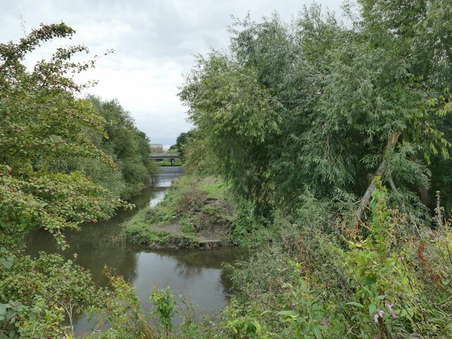
Image: © Stephen Craven Taken: 23 Sep 2023
The Cheswold is a 350 metre long connection between the river Don at this end and the Sheffield & South Yorkshire Navigation at the other; it may have been the original course of the Don before the navigation was created in the 18th century https://en.wikipedia.org/wiki/River_Cheswold .
Images are licensed for reuse under creativecommons.org/licenses/by-sa/2.0
Image Location
Latitude
53.527448
Longitude
-1.145697