Gate by Ford Down Lane
Introduction
The photograph on this page of Gate by Ford Down Lane by Derek Harper as part of the Geograph project.
The Geograph project started in 2005 with the aim of publishing, organising and preserving representative images for every square kilometre of Great Britain, Ireland and the Isle of Man.

There are currently over 7.5m images from over 14,400 individuals and you can help contribute to the project by visiting https://www.geograph.org.uk
Gate by Ford Down Lane
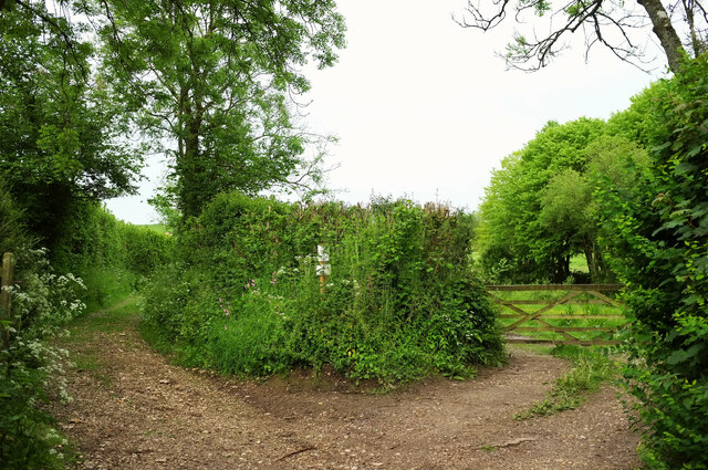
Image: © Derek Harper Taken: 25 May 2022
A track into a field veers away from bridleway S10 42, though the two then run parallel on either side of the hedge. More to the right is the start of footpath S10 41 to Hilling Lane.
Images are licensed for reuse under creativecommons.org/licenses/by-sa/2.0
Image Location
Latitude
50.837309
Longitude
-2.439617