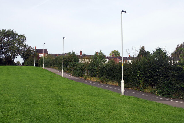
Path to Hazel Grove Station
Introduction
The photograph on this page of Path to Hazel Grove Station by Stephen McKay as part of the Geograph project.
The Geograph project started in 2005 with the aim of publishing, organising and preserving representative images for every square kilometre of Great Britain, Ireland and the Isle of Man.
There are currently over 7.5m images from over 14,400 individuals and you can help contribute to the project by visiting https://www.geograph.org.uk

Image: © Stephen McKay Taken: 17 Oct 2023
The path leads from Norbury parish church across this open space towards the railway station. As is common practice nowadays a solid white line divides it into a lane for cyclists and a lane for pedestrians - although few users seem to feel bound by this restriction. Over the hedgerow is an area devoted to allotments.

