'Road Ahead Closed' sign, Lindale Lane
Introduction
The photograph on this page of 'Road Ahead Closed' sign, Lindale Lane by Stephen Craven as part of the Geograph project.
The Geograph project started in 2005 with the aim of publishing, organising and preserving representative images for every square kilometre of Great Britain, Ireland and the Isle of Man.

There are currently over 7.5m images from over 14,400 individuals and you can help contribute to the project by visiting https://www.geograph.org.uk
'Road Ahead Closed' sign, Lindale Lane
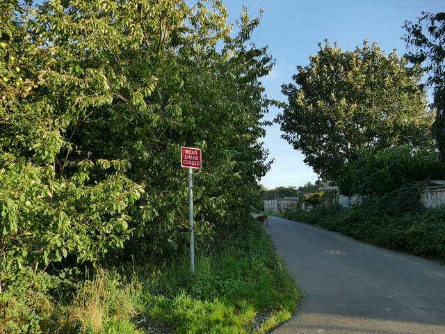
Image: © Stephen Craven Taken: 15 Oct 2023
The lane is a through route for walkers and cyclists but motor traffic is restricted to access to the properties at each end of the road.
Images are licensed for reuse under creativecommons.org/licenses/by-sa/2.0
Image Location
Latitude
53.701489
Longitude
-1.544641