Housing estate at Selkirk
Introduction
The photograph on this page of Housing estate at Selkirk by M J Richardson as part of the Geograph project.
The Geograph project started in 2005 with the aim of publishing, organising and preserving representative images for every square kilometre of Great Britain, Ireland and the Isle of Man.

There are currently over 7.5m images from over 14,400 individuals and you can help contribute to the project by visiting https://www.geograph.org.uk
Housing estate at Selkirk
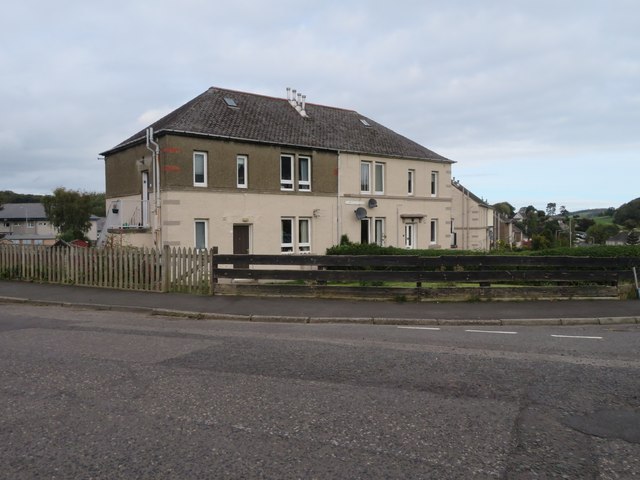
Image: © M J Richardson Taken: 16 Oct 2023
In groups of four, semidetached upper and lower flats. The right hand pair are 1 & 3 Shawburn Road, the left hand pair are 18 & 20 Raeburn Meadow.
Images are licensed for reuse under creativecommons.org/licenses/by-sa/2.0
Image Location
Latitude
55.553825
Longitude
-2.834872