Station Road, Hook Norton
Introduction
The photograph on this page of Station Road, Hook Norton by Stephen McKay as part of the Geograph project.
The Geograph project started in 2005 with the aim of publishing, organising and preserving representative images for every square kilometre of Great Britain, Ireland and the Isle of Man.

There are currently over 7.5m images from over 14,400 individuals and you can help contribute to the project by visiting https://www.geograph.org.uk
Station Road, Hook Norton
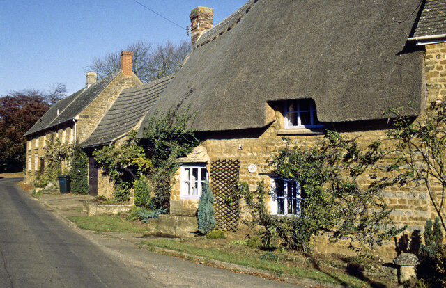
Image: © Stephen McKay Taken: 1 Oct 1997
This view from the autumn of 1997 shows a thatched cottage and other houses built in the attractive local stone. Hook Norton is a relatively large village for north Oxfordshire best known for its brewery. Sadly the station from which this road takes its name closed to passengers in 1951.
Images are licensed for reuse under creativecommons.org/licenses/by-sa/2.0
Image Location


Leaflet Map data © OpenStreetMap
Latitude
51.998423
Longitude
-1.477048