Access road to Tithe Top Farm
Introduction
The photograph on this page of Access road to Tithe Top Farm by Martin Dawes as part of the Geograph project.
The Geograph project started in 2005 with the aim of publishing, organising and preserving representative images for every square kilometre of Great Britain, Ireland and the Isle of Man.

There are currently over 7.5m images from over 14,400 individuals and you can help contribute to the project by visiting https://www.geograph.org.uk
Access road to Tithe Top Farm
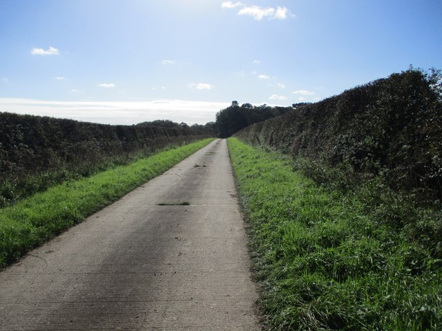
Image: © Martin Dawes Taken: 12 Oct 2023
Also a Green Dotty which runs past Tithe Top and Arden Fleets farm to the B1246 North Dalton to Warter road
Images are licensed for reuse under creativecommons.org/licenses/by-sa/2.0
Image Location
Latitude
53.969169
Longitude
-0.610286