Quoits Water Pill
Introduction
The photograph on this page of Quoits Water Pill by Eirian Evans as part of the Geograph project.
The Geograph project started in 2005 with the aim of publishing, organising and preserving representative images for every square kilometre of Great Britain, Ireland and the Isle of Man.

There are currently over 7.5m images from over 14,400 individuals and you can help contribute to the project by visiting https://www.geograph.org.uk
Quoits Water Pill
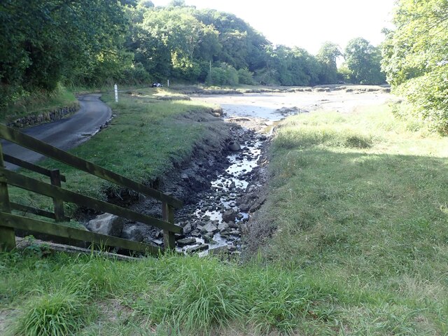
Image: © Eirian Evans Taken: 31 Aug 2022
The pill flows into Pembroke River and is a muddy creek at low tide. The Coast Path goes along the road beside it
Images are licensed for reuse under creativecommons.org/licenses/by-sa/2.0
Image Location
Latitude
51.671646
Longitude
-4.936461