Inchbrayock Manse, Craig, Angus
Introduction
The photograph on this page of Inchbrayock Manse, Craig, Angus by Adrian Diack as part of the Geograph project.
The Geograph project started in 2005 with the aim of publishing, organising and preserving representative images for every square kilometre of Great Britain, Ireland and the Isle of Man.

There are currently over 7.5m images from over 14,400 individuals and you can help contribute to the project by visiting https://www.geograph.org.uk
Inchbrayock Manse, Craig, Angus
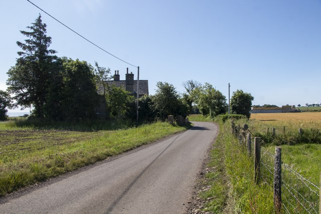
Image: © Adrian Diack Taken: 29 Jun 2023
The photo shows Inchbrayock Manse viewed in a southeast direction from Usan Road. Inchbrayock Manse was shown as a Free Church Manse on the 1’st Edition Ordnance Survey map which was surveyed 1861 and published 1864. After the Disruption of 1843, Rev. James Brewster, of the established Church of Scotland, quitted the Manse of Craig at Kirkton of Craig and took up residence in Craig View House while Inchbrayock Manse was being built. His total ministry in the parish of Craig lasted for 45 years and sadly this much loved and respected minister was to die in Inchbrayock Manse. Rev. Hugh Mitchell LL.D., who succeeded Rev. Brewster D.D., as minister of the Free Church of Craig lived at Inchbrayock Manse for his 45 year ministry between 1848 and 1893. A headstone in Rossie Island Cemetery, which is the location where the former Inchbrayock or Inchbraoch Chapel once stood and where the Inchbrayock Pictish Stones were discovered, records the name of Rev. Hugh Mitchell LL.D., and that of his sister Margaret Mitchell who also died at Inchbrayock Manse.
Images are licensed for reuse under creativecommons.org/licenses/by-sa/2.0
Image Location
Latitude
56.693708
Longitude
-2.45959