Burton Ferry from the Cleddau Bridge
Introduction
The photograph on this page of Burton Ferry from the Cleddau Bridge by Eirian Evans as part of the Geograph project.
The Geograph project started in 2005 with the aim of publishing, organising and preserving representative images for every square kilometre of Great Britain, Ireland and the Isle of Man.

There are currently over 7.5m images from over 14,400 individuals and you can help contribute to the project by visiting https://www.geograph.org.uk
Burton Ferry from the Cleddau Bridge
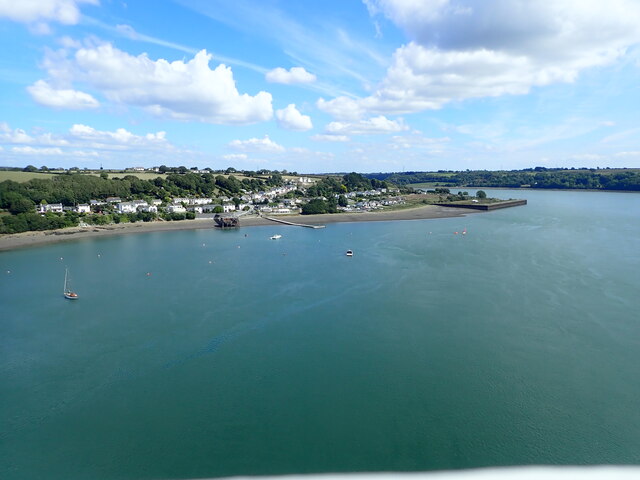
Image: © Eirian Evans Taken: 31 Aug 2022
On the waterfront - Trinity House pier, where the ferry used to dock, to the left of the floating landing stage, and to the right at the bend of the river is a small harbour area
Images are licensed for reuse under creativecommons.org/licenses/by-sa/2.0
Image Location


Leaflet Map data © OpenStreetMap
Latitude
51.70657
Longitude
-4.924537