Colne View
Introduction
The photograph on this page of Colne View by Glyn Baker as part of the Geograph project.
The Geograph project started in 2005 with the aim of publishing, organising and preserving representative images for every square kilometre of Great Britain, Ireland and the Isle of Man.

There are currently over 7.5m images from over 14,400 individuals and you can help contribute to the project by visiting https://www.geograph.org.uk
Colne View
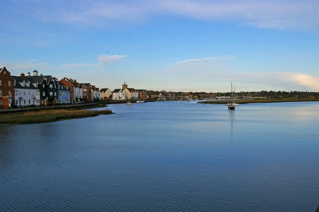
Image: © Glyn Baker Taken: 12 Apr 2008
The River Colne and Wivenhoe taken from Image . Despite appearances the vast majority of the buildings on this part of Wivenhoe waterfront are fairly newly built.
Images are licensed for reuse under creativecommons.org/licenses/by-sa/2.0
Image Location


Leaflet Map data © OpenStreetMap
Latitude
51.854077
Longitude
0.953508