Field by Rowden Cross
Introduction
The photograph on this page of Field by Rowden Cross by Derek Harper as part of the Geograph project.
The Geograph project started in 2005 with the aim of publishing, organising and preserving representative images for every square kilometre of Great Britain, Ireland and the Isle of Man.

There are currently over 7.5m images from over 14,400 individuals and you can help contribute to the project by visiting https://www.geograph.org.uk
Field by Rowden Cross
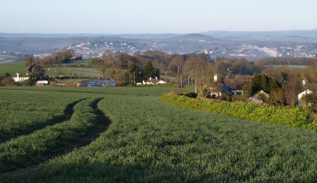
Image: © Derek Harper Taken: 9 Apr 2008
Taken close to Image, which commands extensive views westwards. The tramlines are running parallel to the lane to Kingsteignton, on the right. The houses on the left are around Colway Cross, in Image The view beyond includes part of Newton Abbot.
Images are licensed for reuse under creativecommons.org/licenses/by-sa/2.0
Image Location


Leaflet Map data © OpenStreetMap
Latitude
50.559067
Longitude
-3.553884