Carron House
Introduction
The photograph on this page of Carron House by David Bremner as part of the Geograph project.
The Geograph project started in 2005 with the aim of publishing, organising and preserving representative images for every square kilometre of Great Britain, Ireland and the Isle of Man.

There are currently over 7.5m images from over 14,400 individuals and you can help contribute to the project by visiting https://www.geograph.org.uk
Carron House
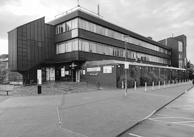
Image: © David Bremner Taken: 10 Oct 2023
Built as part of the second phase of development of Cumbernauld Town Centre between 1968 and 1972.
Images are licensed for reuse under creativecommons.org/licenses/by-sa/2.0
Image Location
Latitude
55.948173
Longitude
-3.990834