Main Street (Fridaythorpe)
Introduction
The photograph on this page of Main Street (Fridaythorpe) by David Dixon as part of the Geograph project.
The Geograph project started in 2005 with the aim of publishing, organising and preserving representative images for every square kilometre of Great Britain, Ireland and the Isle of Man.

There are currently over 7.5m images from over 14,400 individuals and you can help contribute to the project by visiting https://www.geograph.org.uk
Main Street (Fridaythorpe)
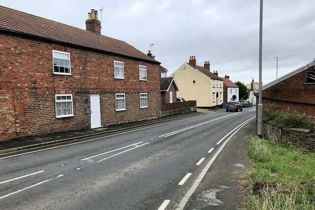
Image: © David Dixon Taken: 6 Oct 2023
Fridaythorpe is a village situated on the A166 road approximately 8 miles north-east of Pocklington town centre.
Images are licensed for reuse under creativecommons.org/licenses/by-sa/2.0
Image Location
Latitude
54.019336
Longitude
-0.666769