Chesters (Cilurnum) Roman Fort
Introduction
The photograph on this page of Chesters (Cilurnum) Roman Fort by Pam Brophy as part of the Geograph project.
The Geograph project started in 2005 with the aim of publishing, organising and preserving representative images for every square kilometre of Great Britain, Ireland and the Isle of Man.

There are currently over 7.5m images from over 14,400 individuals and you can help contribute to the project by visiting https://www.geograph.org.uk
Chesters (Cilurnum) Roman Fort
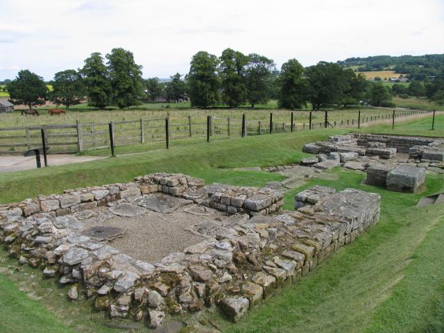
Image: © Pam Brophy Taken: 16 Jul 2004
Taken looking east, towards the North Tyne. The fort lies just off the B6316 between Walwick and Chollerford.
Images are licensed for reuse under creativecommons.org/licenses/by-sa/2.0
Image Location


Leaflet Map data © OpenStreetMap
Latitude
55.028954
Longitude
-2.134504