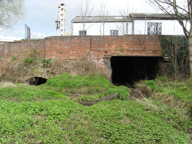
Droitwich Junction Canal - beginning or end
Introduction
The photograph on this page of Droitwich Junction Canal - beginning or end by Chris Allen as part of the Geograph project.
The Geograph project started in 2005 with the aim of publishing, organising and preserving representative images for every square kilometre of Great Britain, Ireland and the Isle of Man.
There are currently over 7.5m images from over 14,400 individuals and you can help contribute to the project by visiting https://www.geograph.org.uk

Image: © Chris Allen Taken: 13 Apr 2008
This is where the remnant of the Droitwich Junction Canal joins the River Salwarpe (out of view to the left). There is a lock chamber under the buildings through the right hand arch. The Salwarpe acts as a link between the Junction and Barge Canals. The Junction Canal joined the Birmingham & worcester at Hanbury Wharf. Through navigation is still the aim for 2009. I wonder who will bring you the first photos (Dave FS stands a good chance).

