Polesden Lacey Estate
Introduction
The photograph on this page of Polesden Lacey Estate by Colin Smith as part of the Geograph project.
The Geograph project started in 2005 with the aim of publishing, organising and preserving representative images for every square kilometre of Great Britain, Ireland and the Isle of Man.

There are currently over 7.5m images from over 14,400 individuals and you can help contribute to the project by visiting https://www.geograph.org.uk
Polesden Lacey Estate
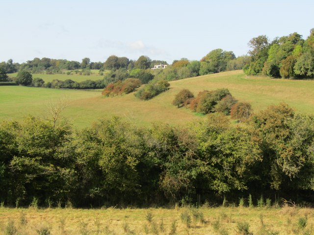
Image: © Colin Smith Taken: 29 Sep 2023
View NW towards High Barn over a dry valley containing Hogden Lane. The hilly downland landscape is a patchwork of grassy fields, hedgerows and woodland. www.nationaltrust.org.uk/visit/surrey/polesden-lacey
Images are licensed for reuse under creativecommons.org/licenses/by-sa/2.0
Image Location
Latitude
51.254817
Longitude
-0.38928