Public footpath 718, Duncton
Introduction
The photograph on this page of Public footpath 718, Duncton by Robin Webster as part of the Geograph project.
The Geograph project started in 2005 with the aim of publishing, organising and preserving representative images for every square kilometre of Great Britain, Ireland and the Isle of Man.

There are currently over 7.5m images from over 14,400 individuals and you can help contribute to the project by visiting https://www.geograph.org.uk
Public footpath 718, Duncton
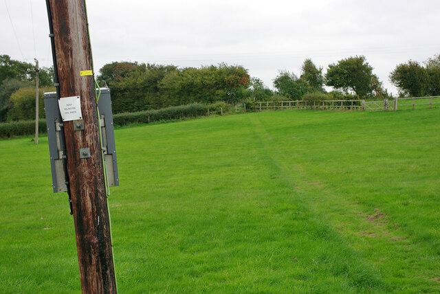
Image: © Robin Webster Taken: 13 Oct 2010
Towards the A285 near the Roman Catholic church. The box on the power pole is plated '9051 Ridlington 11 kV PMCB', that is, 'Pole mounted circuit breaker'.
Images are licensed for reuse under creativecommons.org/licenses/by-sa/2.0
Image Location
Latitude
50.950848
Longitude
-0.635427