Church Hill farmland
Introduction
The photograph on this page of Church Hill farmland by Mary and Angus Hogg as part of the Geograph project.
The Geograph project started in 2005 with the aim of publishing, organising and preserving representative images for every square kilometre of Great Britain, Ireland and the Isle of Man.

There are currently over 7.5m images from over 14,400 individuals and you can help contribute to the project by visiting https://www.geograph.org.uk
Church Hill farmland
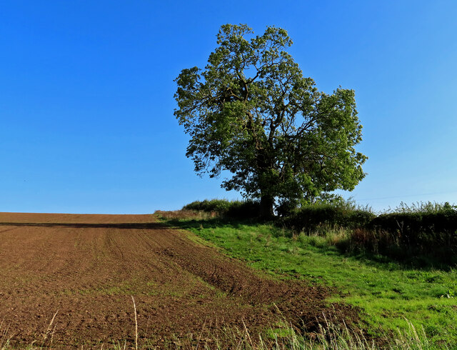
Image: © Mary and Angus Hogg Taken: 25 Sep 2023
Arable land in North Yorkshire, viewed in mid-September.
Images are licensed for reuse under creativecommons.org/licenses/by-sa/2.0
Image Location


Leaflet Map data © OpenStreetMap
Latitude
53.928222
Longitude
-1.250843