The Dock, Firle
Introduction
The photograph on this page of The Dock, Firle by David Kemp as part of the Geograph project.
The Geograph project started in 2005 with the aim of publishing, organising and preserving representative images for every square kilometre of Great Britain, Ireland and the Isle of Man.

There are currently over 7.5m images from over 14,400 individuals and you can help contribute to the project by visiting https://www.geograph.org.uk
The Dock, Firle
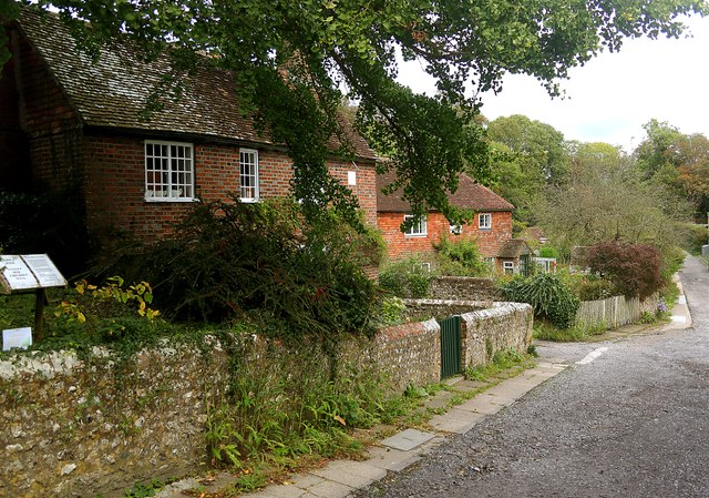
Image: © David Kemp Taken: 30 Sep 2023
Although the map may suggest otherwise The Dock does not provide a route for traffic between the village and Firle Place.
Images are licensed for reuse under creativecommons.org/licenses/by-sa/2.0
Image Location
Latitude
50.846353
Longitude
0.087835