Information board outside Tytherington Baptist Church
Introduction
The photograph on this page of Information board outside Tytherington Baptist Church by Jaggery as part of the Geograph project.
The Geograph project started in 2005 with the aim of publishing, organising and preserving representative images for every square kilometre of Great Britain, Ireland and the Isle of Man.

There are currently over 7.5m images from over 14,400 individuals and you can help contribute to the project by visiting https://www.geograph.org.uk
Information board outside Tytherington Baptist Church
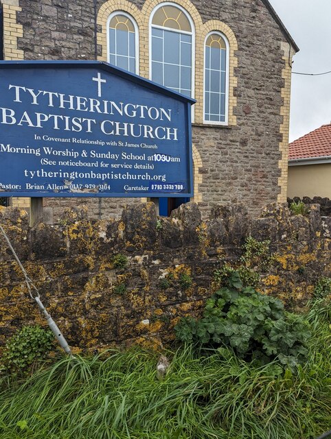
Image: © Jaggery Taken: 24 Sep 2023
In September 2023 text on the board outside the South Gloucestershire church includes "In Covenant Relationship with St James Church" and "Morning Worship & Sunday School at 10.30am"
Images are licensed for reuse under creativecommons.org/licenses/by-sa/2.0
Image Location
Latitude
51.590406
Longitude
-2.480485