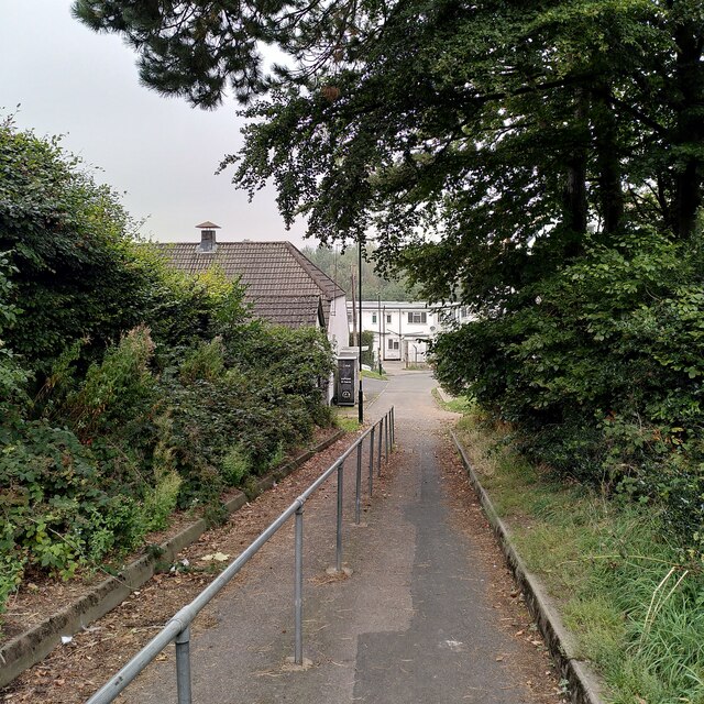
The Mill Walk, Austin Village
Introduction
The photograph on this page of The Mill Walk, Austin Village by A J Paxton as part of the Geograph project.
The Geograph project started in 2005 with the aim of publishing, organising and preserving representative images for every square kilometre of Great Britain, Ireland and the Isle of Man.
There are currently over 7.5m images from over 14,400 individuals and you can help contribute to the project by visiting https://www.geograph.org.uk

Image: © A J Paxton Taken: 16 Sep 2023
Built in 1917 by Herbert Austin for war workers at his Longbridge factory, Austin Village was surrounded by fields. Its road link to Longbridge and Birmingham was a steep, narrow track called the Mill Walk. It crossed the River Rea by a ford, passed under the railway through a single-track tunnel and climbed the slope to the village, forking into a path, seen in the foreground here, and a road that passed the Conservative Club in converted buildings of Hawkesley Farm, off to the left of this picture. The route was apparently later known to the villagers by the ironic name of 'the motorway'. The village has no shops, nor did it ever have many, though there was apparently a Co-op store for some time. In the early years, local farmers delivered food door to door, presumably approaching the village up this track, or perhaps from a farm track to the southeast. After the Second World War, the expanding suburbs and housing estates of Birmingham gradually reached the village, which is now better connected to the road system. See Wikipedia on Austin Village, particularly the detail of a 1936 OS map reproduced there https://en.m.wikipedia.org/wiki/Austin_Village .

