Southfield Road and the playing field entrance
Introduction
The photograph on this page of Southfield Road and the playing field entrance by John Sutton as part of the Geograph project.
The Geograph project started in 2005 with the aim of publishing, organising and preserving representative images for every square kilometre of Great Britain, Ireland and the Isle of Man.

There are currently over 7.5m images from over 14,400 individuals and you can help contribute to the project by visiting https://www.geograph.org.uk
Southfield Road and the playing field entrance
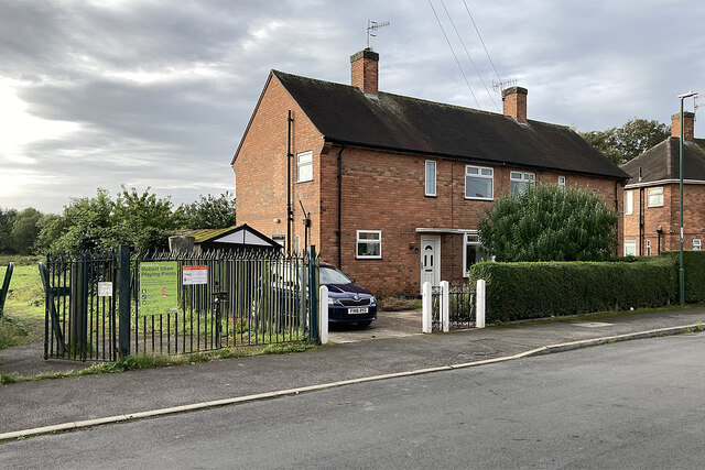
Image: © John Sutton Taken: 27 Sep 2023
Council-built houses on Southfield Road. The Ainsley Estate was planned before the Second World War but not completed until after it, as Nottingham continued to expand westwards. Image] shows the rear of these houses.
Images are licensed for reuse under creativecommons.org/licenses/by-sa/2.0
Image Location
Latitude
52.95962
Longitude
-1.185808