Footpath through a housing estate to Field Lane
Introduction
The photograph on this page of Footpath through a housing estate to Field Lane by Ian Calderwood as part of the Geograph project.
The Geograph project started in 2005 with the aim of publishing, organising and preserving representative images for every square kilometre of Great Britain, Ireland and the Isle of Man.

There are currently over 7.5m images from over 14,400 individuals and you can help contribute to the project by visiting https://www.geograph.org.uk
Footpath through a housing estate to Field Lane
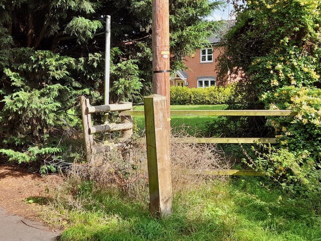
Image: © Ian Calderwood Taken: 29 Sep 2023
Since I took Image in 2012, the Chellaston end of the footpath to Field Lane has been incorporated into a housing estate. The path now runs on the near side of the fence and is a surfaced pavement. This process is continuing out onto Boulton Moor as much of it disappears under housing.
Images are licensed for reuse under creativecommons.org/licenses/by-sa/2.0
Image Location
Latitude
52.876373
Longitude
-1.432529