The site of Boulton Edge Farm
Introduction
The photograph on this page of The site of Boulton Edge Farm by Ian Calderwood as part of the Geograph project.
The Geograph project started in 2005 with the aim of publishing, organising and preserving representative images for every square kilometre of Great Britain, Ireland and the Isle of Man.

There are currently over 7.5m images from over 14,400 individuals and you can help contribute to the project by visiting https://www.geograph.org.uk
The site of Boulton Edge Farm
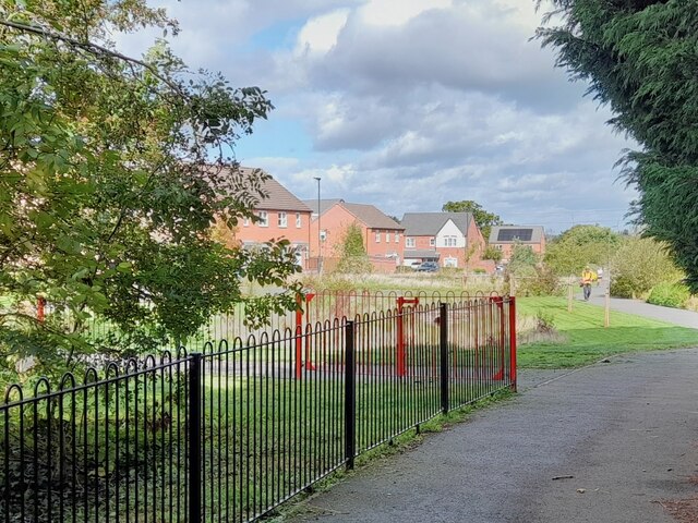
Image: © Ian Calderwood Taken: 29 Sep 2023
Since I took Image in 2012, Boulton Edge Farm has been swallowed by the houses of Chellaston, as it advances across Boulton Moor. The farmhouse was roughly where the drainage swale is.
Images are licensed for reuse under creativecommons.org/licenses/by-sa/2.0
Image Location
Latitude
52.876733
Longitude
-1.432525