Ruscombe Road church
Introduction
The photograph on this page of Ruscombe Road church by Neil Owen as part of the Geograph project.
The Geograph project started in 2005 with the aim of publishing, organising and preserving representative images for every square kilometre of Great Britain, Ireland and the Isle of Man.

There are currently over 7.5m images from over 14,400 individuals and you can help contribute to the project by visiting https://www.geograph.org.uk
Ruscombe Road church
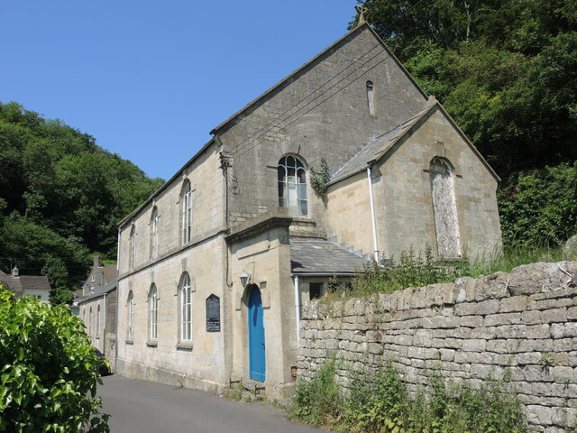
Image: © Neil Owen Taken: 8 Jun 2023
The little village clings to the twisty valley, with a church at the junction with The Throat. Outside is an old-fashioned blackboard.
Images are licensed for reuse under creativecommons.org/licenses/by-sa/2.0
Image Location
Latitude
51.76567
Longitude
-2.236729