Harvard Mills Redevelopment (13)
Introduction
The photograph on this page of Harvard Mills Redevelopment (13) by Stephen Craven as part of the Geograph project.
The Geograph project started in 2005 with the aim of publishing, organising and preserving representative images for every square kilometre of Great Britain, Ireland and the Isle of Man.

There are currently over 7.5m images from over 14,400 individuals and you can help contribute to the project by visiting https://www.geograph.org.uk
Harvard Mills Redevelopment (13)
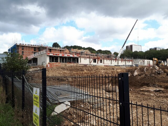
Image: © Stephen Craven Taken: 26 Sep 2023
Now known as Kirkstall Place, the new housing is going up. The sawtooth roof profile of this main block suggests that solar panels will be added to the south-facing sides (if they aren't, it's a missed opportunity).
Images are licensed for reuse under creativecommons.org/licenses/by-sa/2.0
Image Location
Latitude
53.81601
Longitude
-1.598688