Acre Lane Housing Development, Rastrick
Introduction
The photograph on this page of Acre Lane Housing Development, Rastrick by Richard Kay as part of the Geograph project.
The Geograph project started in 2005 with the aim of publishing, organising and preserving representative images for every square kilometre of Great Britain, Ireland and the Isle of Man.

There are currently over 7.5m images from over 14,400 individuals and you can help contribute to the project by visiting https://www.geograph.org.uk
Acre Lane Housing Development, Rastrick
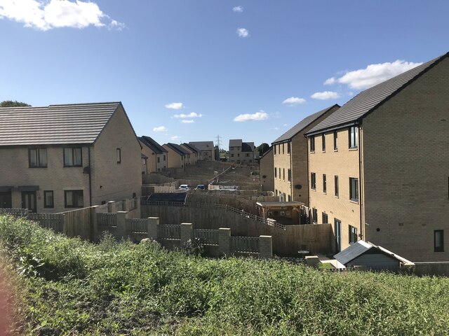
Image: © Richard Kay Taken: 8 Aug 2023
The back gardens have one thing in common - high fences.
Images are licensed for reuse under creativecommons.org/licenses/by-sa/2.0
Image Location
Latitude
53.681066
Longitude
-1.800724