Oatlands recreation ground
Introduction
The photograph on this page of Oatlands recreation ground by Stephen Craven as part of the Geograph project.
The Geograph project started in 2005 with the aim of publishing, organising and preserving representative images for every square kilometre of Great Britain, Ireland and the Isle of Man.

There are currently over 7.5m images from over 14,400 individuals and you can help contribute to the project by visiting https://www.geograph.org.uk
Oatlands recreation ground
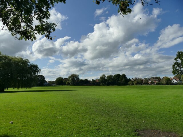
Image: © Stephen Craven Taken: 21 Sep 2023
A public open space occupying the site of a former brick works including an infilled clay pit.
Images are licensed for reuse under creativecommons.org/licenses/by-sa/2.0
Image Location
Latitude
53.980243
Longitude
-1.530935