Creegbrawse Farm
Introduction
The photograph on this page of Creegbrawse Farm by Elizabeth Scott as part of the Geograph project.
The Geograph project started in 2005 with the aim of publishing, organising and preserving representative images for every square kilometre of Great Britain, Ireland and the Isle of Man.

There are currently over 7.5m images from over 14,400 individuals and you can help contribute to the project by visiting https://www.geograph.org.uk
Creegbrawse Farm
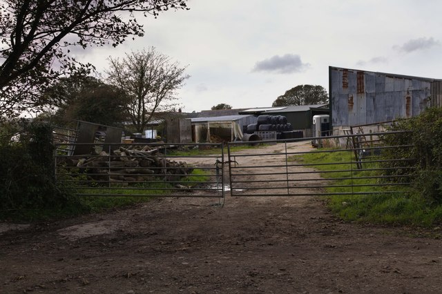
Image: © Elizabeth Scott Taken: 26 Sep 2023
The farmyard at Creegbrawse Farm. The name is from Cornish krug, a mound or barrow, plus bras, large. This indicates that there was once a bronze age barrow here.
Images are licensed for reuse under creativecommons.org/licenses/by-sa/2.0
Image Location
Latitude
50.249948
Longitude
-5.165453