Houses along Main Road
Introduction
The photograph on this page of Houses along Main Road by DS Pugh as part of the Geograph project.
The Geograph project started in 2005 with the aim of publishing, organising and preserving representative images for every square kilometre of Great Britain, Ireland and the Isle of Man.

There are currently over 7.5m images from over 14,400 individuals and you can help contribute to the project by visiting https://www.geograph.org.uk
Houses along Main Road
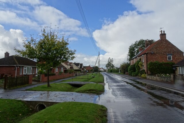
Image: © DS Pugh Taken: 23 Sep 2023
The western side of Weaverthorpe. National Cycle Network route 166 runs along here.
Images are licensed for reuse under creativecommons.org/licenses/by-sa/2.0
Image Location
Latitude
54.12429
Longitude
-0.525529