The City: Magnus Magnusson time (36)
Introduction
The photograph on this page of The City: Magnus Magnusson time (36) by Basher Eyre as part of the Geograph project.
The Geograph project started in 2005 with the aim of publishing, organising and preserving representative images for every square kilometre of Great Britain, Ireland and the Isle of Man.

There are currently over 7.5m images from over 14,400 individuals and you can help contribute to the project by visiting https://www.geograph.org.uk
The City: Magnus Magnusson time (36)
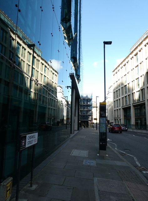
Image: © Basher Eyre Taken: 23 Sep 2023
Lamppost in Chiswell Street [West out of Finsbury Square, at No. 1. to 32 Beech Street (P.O. Directory). Outside the City boundary. First mention : Mentioned as "Chysel strate," the northern boundary of land and houses in the parish of St. Giles without Cripplegate, the western boundary being "Grobstrat," temp. H. III. c. 1217-43 (H. MSS. Com. 9th Rep. p. 8). In the prebend of Finsbury. Other forms : "Chisel Street " (ib.). "Cheselstrete," 36 H. VI. (L. and M. Ft. of Fines, I. 201). "Chiswell Street," O. and M. 1677. in Henry A Harben, 'Chigene Lane - Christopher Alley', in A Dictionary of London (London, 1918)]
Images are licensed for reuse under creativecommons.org/licenses/by-sa/2.0
Image Location
Latitude
51.520731
Longitude
-0.09019