The City: Magnus Magnusson time (13)
Introduction
The photograph on this page of The City: Magnus Magnusson time (13) by Basher Eyre as part of the Geograph project.
The Geograph project started in 2005 with the aim of publishing, organising and preserving representative images for every square kilometre of Great Britain, Ireland and the Isle of Man.

There are currently over 7.5m images from over 14,400 individuals and you can help contribute to the project by visiting https://www.geograph.org.uk
The City: Magnus Magnusson time (13)
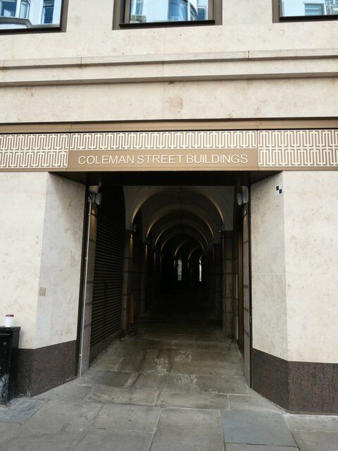
Image: © Basher Eyre Taken: 23 Sep 2023
Coleman Street Buildings [East out of Coleman Street at No. 72 (P.O. Directory) across Moorgate Street east and then south to Great Swan Alley. In Coleman Street Ward. First mention : Horwood, 1799, but only the northern portion out of Great Swan Alley, not the western portion to Coleman Street. Former names : "Bricklington Court" (q.v.). "Coleman's Buildings" (Lockie, 1810-Elmes, 1831) in Henry A Harben, 'Cole Harbour Stairs - College Hill', in A Dictionary of London (London, 1918)]
Images are licensed for reuse under creativecommons.org/licenses/by-sa/2.0
Image Location
Latitude
51.516498
Longitude
-0.089791