Castle Street, Carlisle
Introduction
The photograph on this page of Castle Street, Carlisle by Adrian Taylor as part of the Geograph project.
The Geograph project started in 2005 with the aim of publishing, organising and preserving representative images for every square kilometre of Great Britain, Ireland and the Isle of Man.

There are currently over 7.5m images from over 14,400 individuals and you can help contribute to the project by visiting https://www.geograph.org.uk
Castle Street, Carlisle
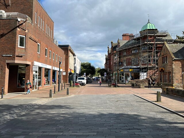
Image: © Adrian Taylor Taken: 21 Sep 2023
Castle Street at the junction with St Marys Gate. Castle Street, partly pedestrianised, was formerly the A595 and was also the Newtown route of the City of Carlisle Electric Tramway until its closure in November 1931. This is the route of The Cumbria Way long distance path from Ulverston to Carlisle, which ends at the nearby Carlisle Cross and Town Hall in the city centre (next photograph Image).
Images are licensed for reuse under creativecommons.org/licenses/by-sa/2.0
Image Location
Latitude
54.894842
Longitude
-2.937296