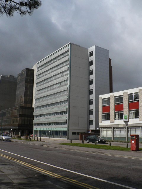
Bournemouth: Studland House (cordon removed)
Introduction
The photograph on this page of Bournemouth: Studland House (cordon removed) by Chris Downer as part of the Geograph project.
The Geograph project started in 2005 with the aim of publishing, organising and preserving representative images for every square kilometre of Great Britain, Ireland and the Isle of Man.
There are currently over 7.5m images from over 14,400 individuals and you can help contribute to the project by visiting https://www.geograph.org.uk

Image: © Chris Downer Taken: 12 Apr 2008
The latest in a series of images of Image during its major refurbishment of 2007-08. For the whole series, see http://www.geograph.org.uk/search.php?i=8964305 Yesterday, the temporary fence around the building site was removed and the first cars parked outside the building since early 2007. The remnants of the former exterior wall can be seen through the ground floor glazing, and there is more work to be done inside. The building used to have a canopy and it is only the ground floor which has increased in size.

