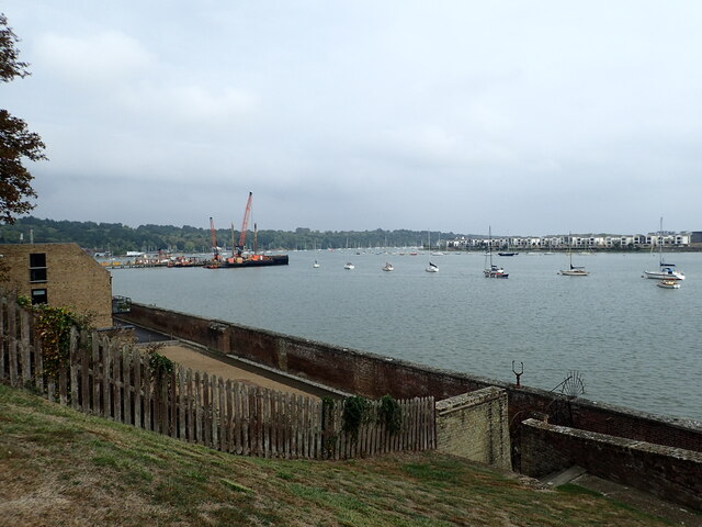
River Medway seen from Upnor Castle
Introduction
The photograph on this page of River Medway seen from Upnor Castle by Marathon as part of the Geograph project.
The Geograph project started in 2005 with the aim of publishing, organising and preserving representative images for every square kilometre of Great Britain, Ireland and the Isle of Man.
There are currently over 7.5m images from over 14,400 individuals and you can help contribute to the project by visiting https://www.geograph.org.uk

Image: © Marathon Taken: 17 Sep 2023
Upnor Castle was constructed between 1559 and 1567 on the orders of Elizabeth I and intended to protect both the dockyard and ships of the Royal Navy anchored in the Medway. It was garrisoned by about 80 men with a peak armament of around 20 cannons. Despite its strategic importance, the castle and the defences of the Thames and Medway were badly neglected during the 17th century. The Dutch mounted a naval raid in June 1667, and were able to breach the defences, capturing two warships and burning others at anchor. The raid exposed the weaknesses of the Medway defences and led to the castle losing its role as an artillery fortification. New and stronger forts were built further downriver over the next 200 years and Upnor Castle became a naval ammunition depot, storing great quantities of gunpowder, ammunition, and cannon to replenish the warships that came to Chatham for repair and resupply. It remained in military use until 1945 and is now an English Heritage property open to the public. This view looks downriver along the Medway Estuary. For more about Upnor Castle see https://en.wikipedia.org/wiki/Upnor_Castle

